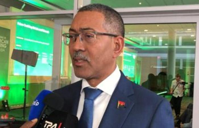
Africa-Press – Angola. The Minister of Mineral Resources, Oil and Gas, Diamantino Azevedo, pointed out, this Wednesday, in Luanda, macro geological information as one of the motivational tools for investors, as it reduces time and costs.
According to Diamantino Azevedo, who was speaking to the press on the sidelines of the presentation of PLANAGEO results, geological information, which consists of geological knowledge, in the form of a geological and geophysical anomaly map of occurrences, are the investors’ work tools.
This geological knowledge, according to the minister, serves not only the mining sector but also for all national planning, agriculture, infrastructure construction and for the analysis of surface and underground water.
This results presentation ceremony, according to the official, was also used to present the results of the creation of geological infrastructures that are already finished, such as the headquarters of the Geological Institute of Angola and its laboratories in Luanda, Saurimo and Lubango.
In Saurimo, the Technological Center for the Enhancement of Ornamental Stones was built, an infrastructure that, by characterizing the rocks, certifies the quality of the product.
The National Geology Plan (PLANAGEO) was created to respond to the major challenges inherent in the sustainable development of Angola and was initiated in 2013.
PLANAGEO develops the geological infrastructure of the country, obtaining quality and credible geological information, necessary for the knowledge and evaluation of the real mining potential of the national territory and conducive to establishing the State’s reserves in terms of mineral resources in the foreground.
This Plan also aims to support actions inherent in the granting of mining rights and planning for the socio-economic development of Angola, as well as promoting, attracting and mobilizing indispensable investments for the exploitation of mineral resources and the dynamization of the mining sector, in order to increasingly contribute more towards the sustainable development of the country.
PLANAGEO’s work consists of carrying out aerogeophysical surveys, cartography, geological and geochemical mapping and updating and drawing up geological maps at various scales, as well as drawing up maps of metallic minerals, minerals for civil construction, geomedicine and geology applied to engineering (geotechnics).
For More News And Analysis About Angola Follow Africa-Press


