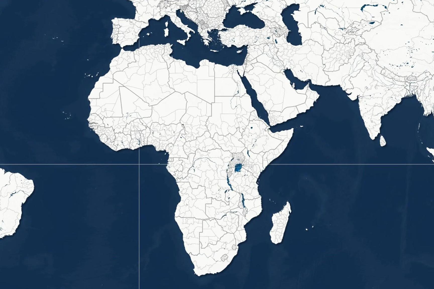
Africa-Press – Namibia. Africa is heading to the United Nations to review the image that Western maps have ingrained in the world’s consciousness. According to a local source, the General Assembly will vote on Friday on a resolution sponsored by Togo, supported by the other member states of the African Union, calling for a gradual abandonment of the traditional “Mercator” map in favor of a projection that more accurately represents Africa’s size.
The map created by Flemish geographer Gerardus Mercator in 1569 was originally designed to assist sailors in navigation, but it later became the most prevalent world map in schools, government institutions, and digital maps.
However, its problem, as the report indicates, is that it exaggerates areas near the poles and diminishes areas near the equator; for instance, Greenland appears to be similar in size to Africa, even though the continent is 14 times larger.
Distortion of a Continent’s Size
Togo and the “Correct the Maps” campaign do not see this issue as a mere visual error. The Foreign Minister of Togo stated that the discussion is “scientific, not political,” as the geographical evidence is clear. However, the impact of the map goes beyond geography; it silently contributes to shaping how generations perceive the size and weight of countries and continents, determining who appears larger and more significant and who seems smaller and less important.
The campaign advocates for the adoption of the “Equal Earth” map, developed by an international team of cartographers in 2018, as a fairer alternative for representing areas. The African Union endorsed the campaign in August 2025 and then requested Togo to lead the initiative within the United Nations. The campaign asserts that Africa could encompass the United States, China, India, Japan, Mexico, and most of Europe within its area and still have space left.
After the Vote
A local source clarifies that maps are not entirely neutral tools but a form of political and visual narrative. Through lines, sizes, and colors, people learn how to envision power and status. Hence, some activists have described this issue as “cartographic colonialism,” as representing Africa as smaller is linked to a longer history of viewing the continent through a Western lens that diminishes its significance.
The press does not expect a non-binding UN resolution to change world maps overnight. The production of maps is not governed by a single entity, and the mental image of the world is formed early and is difficult to change quickly. However, passing the resolution may open the door to revising educational curricula and prompting technology companies and mapmakers to reconsider what they present to users.
Reports indicate that Africa is not only asking the world to draw a new map; the “Equal Earth” projection may not be sufficient to change the continent’s position in politics and economics, but it starts from a fundamental point: to see the continent as it is, not as the world has inherited its depiction.