
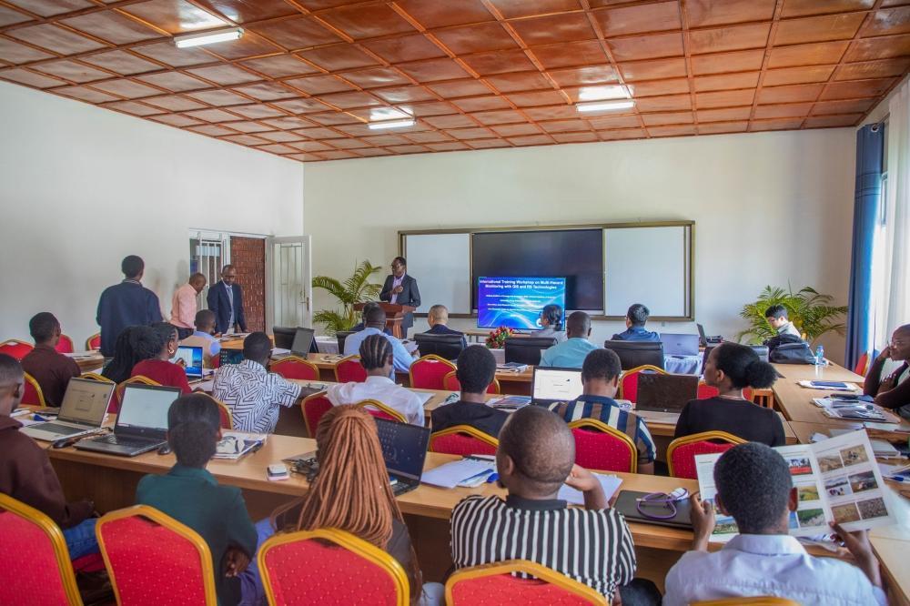
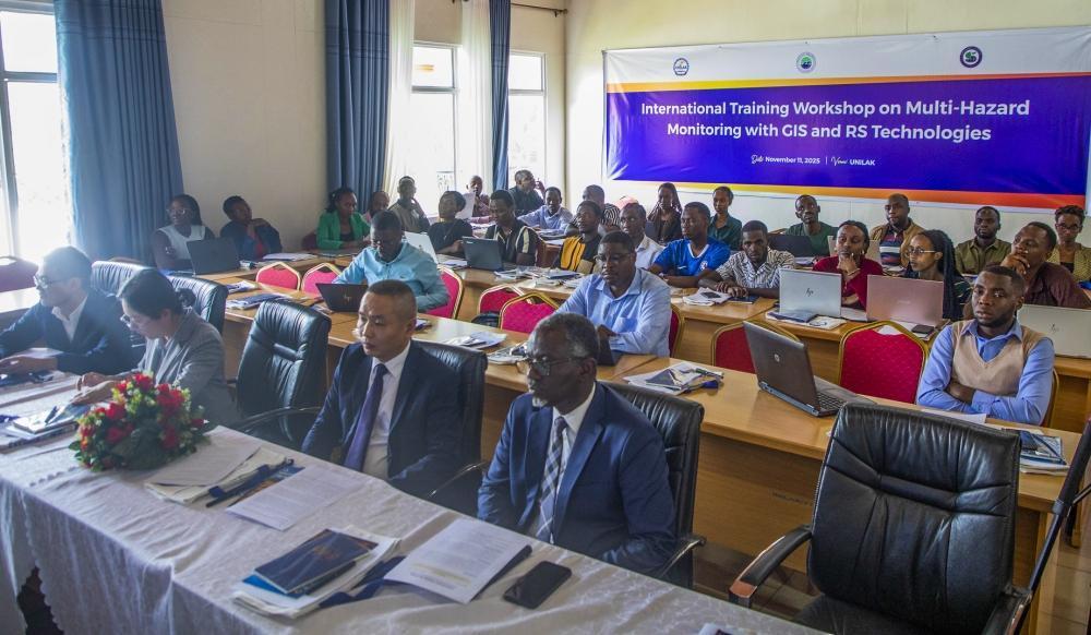
Africa-Press – Rwanda. Chinese experts have provided specialised training for national and international students at the University of Lay Adventists of Kigali (UNILAK), alongside staff members and other key stakeholders, on monitoring natural hazards using Geographic Information Systems (GIS) and Remote Sensing (RS) technologies.
The training, focused on identifying, monitoring, and evaluating disasters using GIS and RS, is part of a project titled “Mechanisms of Emergency Countermeasures for Disasters Induced by Heavy Rain in East Africa”, which began in July 2025.
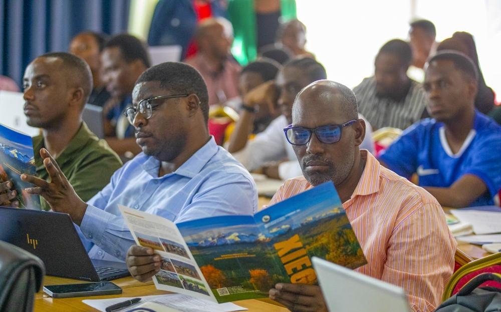
Participants during a training on monitoring natural hazards using Geographic Information Systems (GIS) and Remote Sensing (RS) technologies. Photos by Craish BAHIZI
This three-year joint research project is a collaborative effort between the Xinjiang Institute of Ecology and Geography, Chinese Academy of Sciences, and UNILAK.
The workshop focused on advanced methodologies in remote sensing and GIS, including geospatial analysis, time-series Interferometric Synthetic Aperture Radar (InSAR), and machine learning techniques designed for disaster risk reduction and sustainable ecosystem management.
The three-year joint research project is a collaborative effort between the Xinjiang Institute of Ecology and Geography, Chinese Academy of Sciences, and UNILAK.
InSAR is a remote sensing technology used to detect and measure ground deformation with remarkable precision, offering crucial insights into areas prone to landslides, floods, and other hazards.
Dr Christophe Mupenzi, Dean of the Faculty of Environmental Studies at UNILAK and Project Coordinator, said the three-year initiative focuses on understanding the mechanisms and status of disasters in East Africa, with particular attention to Rwanda.
The project seeks to evaluate the underlying causes of disasters, examine the erodibility of Rwandan soils, and assess exposure to hazards such as landslides and floods.
“This training directly supports Rwanda’s national strategies for disaster risk reduction, climate resilience, and sustainable development by equipping students and professionals with practical skills in GIS and remote sensing,” he said.
Four experts from the Xinjiang Institute of Ecology and Geography, together with one expert from UNILAK, guided participants through hands-on applications of GIS and remote sensing technologies, concentrating on ecological monitoring, data management, and environmental assessment.
“The project seeks to evaluate the underlying causes of disasters, examine the erodibility of Rwandan soils, and assess exposure to hazards such as landslides and floods. Our ultimate aim is to provide scientific advice for long-term disaster risk planning and management based on historical data, current conditions, and future projections,” he explained.
The initiative aims to deliver evidence-based recommendations for all stakeholders involved in disaster management in Rwanda.
“We are currently in the early stages of the project. This workshop has been designed to raise awareness among all relevant stakeholders, including researchers working on disaster-related studies, academic staff, and both national and international students,” he added.
The workshop has created a platform for knowledge exchange, enhancing participants’ understanding of Rwanda’s disaster contexts.
Students, researchers, and other stakeholders shared a common goal: improving preparedness and resilience in the face of environmental hazards.
Chester Y. Jlah, a final-year environmental management and conservation student, praised the UNILAK-China partnership for the skills it fosters.
“These technologies not only allow me to collect data remotely from anywhere in the world, but they also enable us to geo-reference and access information about any location without physically being present. This is crucial as human activities increasingly contribute to environmental degradation and ecosystem changes,” he said.
He noted that GIS and remote sensing provide a straightforward yet powerful way to analyse issues, map affected areas, study vegetation cover, and even assess pollution levels.
“These tools give us a comprehensive understanding of environmental management, allowing us to know what is happening in any location, even if we are not physically there. This is extremely valuable for us as environmental students,” he added.
The workshop, he added, also helped him understand how to use satellite imagery and other GIS datasets to make informed decisions and support policymakers.
Theogene Ntakirutimana, a Watershed Protection Specialist with the Green Gicumbi Project and UNILAK alumnus, highlighted how GIS and RS technologies enhance project implementation.
“We map all our activities across intervention areas using GIS and publish results through online visualisation platforms. Remote sensing helps us track land cover changes over the years of project implementation,” he said, commending the training for its practical impact.
He added that many UNILAK environmental science graduates are now contributing significantly to environmental protection and management in both the public and private sectors.
Stephen Bugingo, a master’s student in environmental studies at UNILAK, said: “The training workshop on GIS and remote sensing technologies will support our research projects. We gained valuable expertise from experienced Chinese institutes, which will help us tackle local environmental challenges more effectively.”
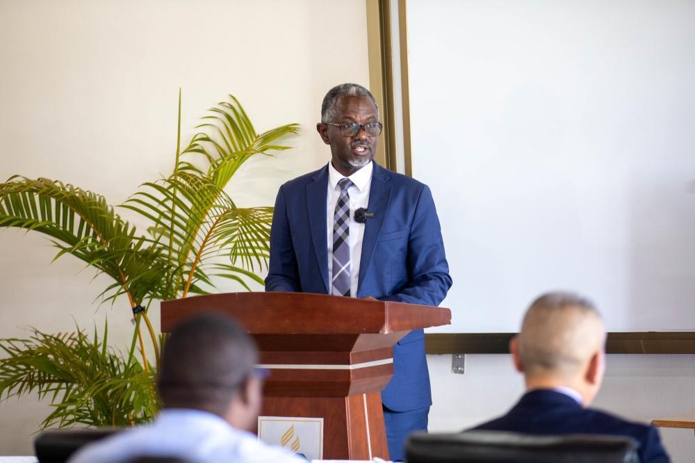
Richard Niyonkuru, Deputy Vice-Chancellor of Administration, Finance and Partnerships at UNILAK speaks at the opening of the training.
Speaking at the opening of the international training workshop on November 11, 2025, Richard Niyonkuru, Deputy Vice-Chancellor of Administration, Finance and Partnerships at UNILAK, commended the trainers from the Xinjiang Institute of Ecology and Geography and the Chinese Academy of Sciences for their work in multi-hazard monitoring.
“UNILAK has enjoyed a long and fruitful collaboration with the Xinjiang Institute of Ecology and Geography, strongly supported by the Sino-Africa Joint Research Centre,” he said.
Since 2012, this partnership has substantially strengthened research capacity at UNILAK and across Rwanda, benefiting numerous African students pursuing environmental studies.
“Through this cooperation, we have witnessed remarkable achievements — the establishment of a modern soil and water testing laboratory, training students at PhD level, the publication of high-quality scientific papers, and the continuous strengthening of technical capacity in GIS, remote sensing, and environmental research,” Niyonkuru added.
Jie Bai, a researcher at the Xinjiang Institute of Ecology and Geography, is among the trainers involved in GIS and remote sensing for multi-hazard monitoring at UNILAK.
30 PhD and master’s graduates from Xinjiang Institute of Ecology and Geography
“Our two institutions have maintained a long-standing collaboration. Around 30 PhD and master’s students have graduated from our institute and returned to Rwanda, becoming valuable lecturers and researchers at UNILAK,” she said.
She noted that three cooperative programmes have been implemented over the years, primarily focusing on disasters caused by heavy rainfall.
“As Rwanda is a mountainous country, heavy rains frequently cause floods, landslides, and severe soil erosion, leading to loss of lives, property, and infrastructure. Our goal is to use remote sensing and GIS technologies to monitor and evaluate these disasters effectively. This is the foundation of our cooperation under this project,” she explained.
She also emphasised the integration of artificial intelligence and big data analysis in disaster research.
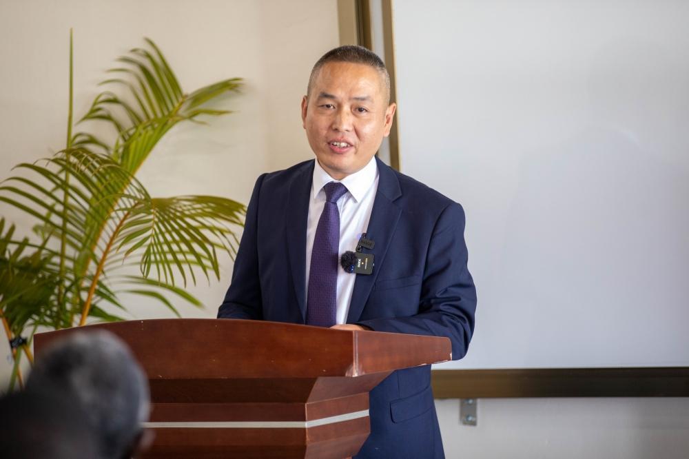
Duan Weili, Deputy Director of the Xinjiang Institute of Ecology and Geography, addresses participants during the workshop.
Duan Weili, Deputy Director of the Xinjiang Institute of Ecology and Geography, stated that the partnership addresses shared challenges, including the increasing frequency and severity of natural hazards worldwide.
“In Rwanda, climate variability, complex terrain, and rapid land-use changes render communities particularly vulnerable. Accurate and timely geospatial information is no longer a luxury. It is essential for effective disaster risk reduction and sustainable ecosystem management,” he said.
The workshop at UNILAK represents a practical response to urgent environmental and societal needs, strengthening collaboration between the two institutions and the African Joint Research Centre.
“Our collaboration is exemplified by the establishment of the GIS Laboratory and ongoing joint research projects which is a testament to our shared commitment to scientific cooperation,” he added.
Wang Qingfeng, Director of the Sino-Africa Joint Research Centre, highlighted the importance of such workshops in strengthening international cooperation, knowledge sharing, and technical capacity-building in GIS and remote sensing.
“These tools are indispensable for disaster risk reduction, environmental management, and climate resilience. Through workshops like this, we aim to share technology, build lasting partnerships, exchange experiences, and explore innovative applications to address multi-hazard challenges,” he said.
Zhang Xiaohong, First Secretary and Head of the Political Section at the Chinese Embassy in Rwanda, reiterated China’s commitment to supporting capacity-building at UNILAK.
“This collaborative project enhances environmental monitoring, provides a strong foundation for sustainable development, and strengthens Rwanda’s disaster response capacity. Through technology transfer from China and the Xinjiang Institute of Ecology and Geography, Rwanda moves closer to becoming a technological hub in Africa,” he said.
Next year marks the 55th anniversary of China–Rwanda relations and the Year of China–Africa People-to-People Exchange, presenting an opportunity to further advance cooperation in science, technology, and research.
For More News And Analysis About Rwanda Follow Africa-Press


