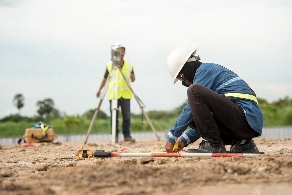
Africa-Press – Rwanda. A new land surveying standards guide has been developed to ensure accuracy in land demarcation, as a way of resolving boundary disputes, according to the National Land Authority (NLA).
The Cadastral Surveying Procedure Manual combines best practices, legal standards and modern technology to ensure land surveys are accurate and consistent as a way of addressing inconsistencies in land boundary demarcation, said Yvonne Akimana, Director of Surveying and Mapping at the NLA.
“Before the release of the manual, Rwanda’s land surveying practices suffered from inconsistencies, outdated techniques, and a lack of harmonised procedures,” she said.
Surveyors often used different methods and reference systems, leading to boundary overlaps, data discrepancies, and disputes between landowners.
“The absence of uniform technical guidelines meant that survey results were not always reliable or legally defensible,” she said.
She explained that land disputes in Rwanda often arise due to overlapping or shifting boundaries.
“The manual helps mitigate this by providing land surveyors with a consistent, technical basis for defining and recording boundaries,” Akimana said.
“When disputes arise, courts and mediators can refer to certified survey data prepared in accordance with the manual’s standards.”
The new manual introduces standardised procedures, requiring surveyors to follow a detailed, step-by-step process from preparation and fieldwork to data documentation and submission through the Irembo platform.
It promotes the integration of modern technology, encouraging the use of high-accuracy tools such as Global Navigation Satellite Systems (GNSS) receivers, total stations, and laser scanners.
GNSS receivers are devices that receive signals from satellites to determine precise geographic locations on Earth.
A total station is a high-precision surveying instrument, while laser scanners are high-precision instruments that use laser beams to rapidly capture the shape, position, and features of objects or environments.
“Aligned with Rwanda’s land laws and policies, the manual provides a clear legal framework to ensure all cadastral activities are officially recognised. To prevent disputes, it mandates the presence of neighbouring parcel owners during data collection, fostering transparency and reducing the risk of boundary conflicts,” Akimana said.
She explained that the government’s ambitious goal to resolve boundary correction issues by 2027 will rely on efficient and standardised surveying processes. During the 2024/2025 fiscal year, 8,696 demarcation errors were corrected across 10 districts.
The manual will be central to achieving boundary correction by 2027, she said, adding that it ensures that all surveying work, whether by government agencies or private surveyors, follows the same technical guidelines.
“This helps reduce errors and create reliable and accurate digital land records. In practice, the manual will guide spatial land transaction processes, including but not limited to boundary corrections, land registration, subdivisions, and dispute resolution,” she noted.
By ensuring transparency and involving community members during field surveys, the manual fosters public trust and prevents future conflicts, the official noted.
Reference stations needed to improve land surveying
Rwanda currently operates 10 Continuously Operating Reference Stations (CORS), which provide real-time GNSS correction data for high-precision land surveys. These are special stations set up in different parts of the country that constantly receive signals from satellites (like GPS). They are part of a system called Rwanda GeoNet.
“While these stations are a significant asset, experts suggest that additional CORS stations may be required, especially in remote or mountainous regions where signal accuracy can be affected,” Akimana noted.
A rough technical guideline recommends placing one CORS station in every 70 to 100 kilometres, depending on terrain and network density.
This implies that Rwanda may need 15–18 CORS stations to ensure full national coverage and redundancy, she explained.
“Expanding the CORS network would increase the efficiency and accuracy of land surveys, particularly in rural areas where land disputes are prevalent,” Akimana said.
For More News And Analysis About Rwanda Follow Africa-Press


