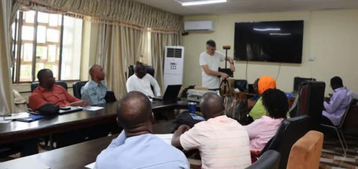
Africa-Press – Sierra-Leone. The Ministry of Lands, Housing and Country Planning is currently spearheading capacity-building sessions for government surveyors and technical staff across Sierra Leone, focusing on the use of the Continuous Operating Reference Stations (CORS) network and modern surveying equipment.
The training, which commenced in Freetown last week, is part of a broader initiative under the Sierra Leone Land Administration Project (SLLAP) aimed at digitising and professionalising land administration systems nationwide.
The CORS Network is a high-precision satellite-based positioning system which allows surveyors to conduct faster and more accurate surveys – a vital component in improving land registration, infrastructure planning, and boundary demarcation.
Speaking during the session, Tamba Dauda, Professional Heada and Director of Surveys and Lands in the Ministry, described the training as a turning point for the country’s land sector.
He emphasized that the Ministry is determined to equip all its technical staff with modern tools and knowledge, aligning Sierra Leone’s land governance with international norms.
The training features a structured blend of classroom lectures, live demonstrations, and intensive field exercises.
Facilitators include both local experts from the Ministry and international geospatial consultants.
Key topics covered includes: Operation of GNSS receivers and field data tools, Real-Time Kinematic (RTK) surveying methods, CORS network data interpretation and management, survey data integration into national systems, equipment maintenance and troubleshooting.
For More News And Analysis About Sierra-Leone Follow Africa-Press


