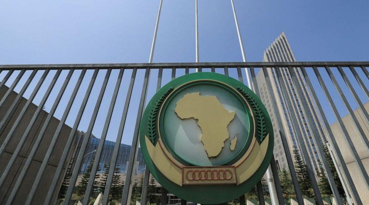
Africa-Press. The Chairperson of the African Union Commission, Mahmoud Ali Yusuf, welcomed the adoption of the United Nations General Assembly resolution on “correcting the map” on Friday. This resolution was proposed by Togo on behalf of the African group, aiming for a more equitable and accurate cartographic representation of Africa and other regions of the world.
Yusuf congratulated the member states of the African Union and the African group in New York for their unity and mobilization around this initiative.
The Chairperson urged international institutions, educational systems, publishers, and digital actors to gradually work towards using more accurate cartographic representations that align with actual spaces.
The African Union Commission will continue its cooperation with Togo, member states, and relevant partners to support the implementation of this initiative, according to the statement. The African statement emphasized that the continent should be represented as it is, with its true dimensions and the status it deserves in the world.
UN Votes to Adopt a New World Map Reflecting Africa’s True Size
The United Nations General Assembly voted in favor of a resolution calling for the gradual phasing out of the traditional Mercator map and the adoption of more accurate maps to represent the sizes of continents, with the “Earth Equal” design launched in 2018 at the forefront.
According to the British newspaper The Guardian, the resolution came at the initiative of Togo and with the support of the African Union, particularly aimed at correcting the visual representation of Africa’s size, which appears much smaller than its actual area on Mercator maps. The resolution was supported by 164 countries, while the United States opposed it, and six countries abstained from voting.
Togo, which led the campaign for the resolution on behalf of the African Union, stated that the resolution “acknowledges and confirms that disproportionate cartographic representations, particularly those resulting from the Mercator projection, have had long-lasting cognitive, educational, cultural, geopolitical, social, and economic impacts, contributing to a significantly reduced perceived size of Africa and other regions of the world in the global collective imagination.”
The Mercator map dates back to 1569 when it was created by Flemish cartographer Gerardus Mercator to facilitate maritime navigation. However, it distorts geographical sizes as one moves away from the equator, making areas near it appear smaller than they are, while regions in the far north and south appear much larger.
One prominent example is that Greenland appears on the map to be about the same size as Africa, while Africa is actually about 14 times larger.
The campaign to change the map goes beyond technical aspects to cultural and political dimensions, as its supporters argue that the continued use of Mercator for decades has contributed to reinforcing an unbalanced image of the world by visually minimizing the size of Africa and the Global South, while exaggerating the size of countries in the Northern Hemisphere.
Some activists and historians describe this as “cartographic colonialism,” believing that traditional geographical representations have indirectly contributed to entrenched perceptions related to global power dynamics.
Togo and the African Union support the use of the “Earth Equal” map, which maintains the relative proportions of the actual areas of continents and countries, as a means to correct prevailing perceptions of Africa and reconsider global educational curricula.
Analysts believe that adopting equal-area maps can provide new generations with a more accurate understanding of the geographical, demographic, economic, and political weight of the continent.
The UN resolution does not mandate the use of the new map, as General Assembly resolutions are not legally binding, but it could lead to changes in educational curricula, digital maps, technological applications, and government institutions.
In this context, France announced its support for the resolution, stating that it would abandon the Mercator projection in favor of maps more suitable for various uses, adopting the Eckert IV projection, which is close to “Earth Equal.”
Togo plans to organize a meeting in its capital, Lomé, during the first quarter of next year, involving UNESCO, the African Union, and technology companies like Google Maps, to discuss mechanisms for implementing the resolution.
According to Togolese officials, this move reflects an African desire to reshape how the continent is portrayed in maps and curricula, not only for scientific accuracy but also to change the global mental image of Africa, its size, and its importance.